


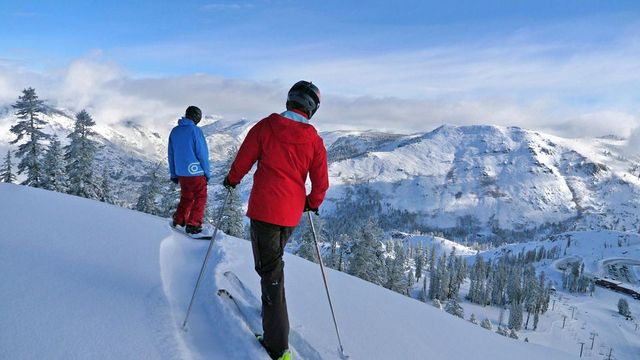
Hey Good People! December 31st 2020 23F @ 5am Northwest wind 4-10mph Base-33″” Overnight-1″ Current Storm total-1″ Season Total-48” The quick moving weak system that grazed over the area last night brought 1″ of new snow. Today a chance of snow showers will linger in the am hours and give way to ridging which will bring dry conditions later today and into Friday evening. Another weak system will move into the area late Friday evening. Monday brings a trough which is expected to enhance snowfall production through the week. What’s interesting is the Stratospheric warming event that is underway over the Arctic at the moment. “The sudden heating of the Stratosphere creates high pressure over the polar region that can dislodge the polar vortex or even breaking it up into smaller vorticies sending them south “toward” the mid latitudes.- The Dweeb. This will push the upper jet southward towards Central California and it certainly looks to enhance snowfall production for the month of January as a few “atmospheric river” possibilities are tucked in there. Stay tuned……..
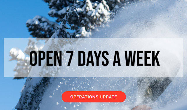


Make sure to follow California guidelines and our area COVID-19 safe practices. Check out our webpage for more info, stay safe, remember to keep 6ft of distancing and wear a mask while here at the resort.
Cheers,
Mattly
Thursday
A 30 percent chance of snow showers before 10am. Mostly cloudy, then gradually becoming sunny, with a steady temperature around 26. Northeast wind 13 to 15 mph, with gusts as high as 26 mph. Little or no snow accumulation expected.
Thursday Night
Mostly clear, with a steady temperature around 28. East northeast wind 15 to 17 mph, with gusts as high as 25 mph.
The quick moving weak system that grazed over the area last night brought 1″ of new snow. Today a chance of snow showers will linger in the am hours and give way to ridging which will bring dry conditions later today and into Friday evening. Another weak system will move into the area late Friday evening. Monday brings a trough which is expected to enhance snowfall production through the week. What’s interesting is the Stratospheric warming event that is underway over the Arctic at the moment. “The sudden heating of the Stratosphere creates high pressure over the polar region that can dislodge the polar vortex or even breaking it up into smaller vorticies sending them south “toward” the mid latitudes.- The Dweeb. This will push the upper jet southward towards Central California and it certainly looks to enhance snowfall production for the month of January as a few “atmospheric river” possibilities are tucked in there. Stay tuned……..
Make sure to follow California guidelines and our area COVID-19 safe practices. Check out our webpage for more info, stay safe, remember to keep 6ft of distancing and wear a mask while here at the resort.
Cheers,
Mattly
Thursday
A 30 percent chance of snow showers before 10am. Mostly cloudy, then gradually becoming sunny, with a steady temperature around 26. Northeast wind 13 to 15 mph, with gusts as high as 26 mph. Little or no snow accumulation expected.
Thursday Night
Mostly clear, with a steady temperature around 28. East northeast wind 15 to 17 mph, with gusts as high as 25 mph.
Hey Good People!! Great Conditions for New Year’s Day & More Pure Mountain Fun on the Way!! added by admin on
View all posts by admin →