


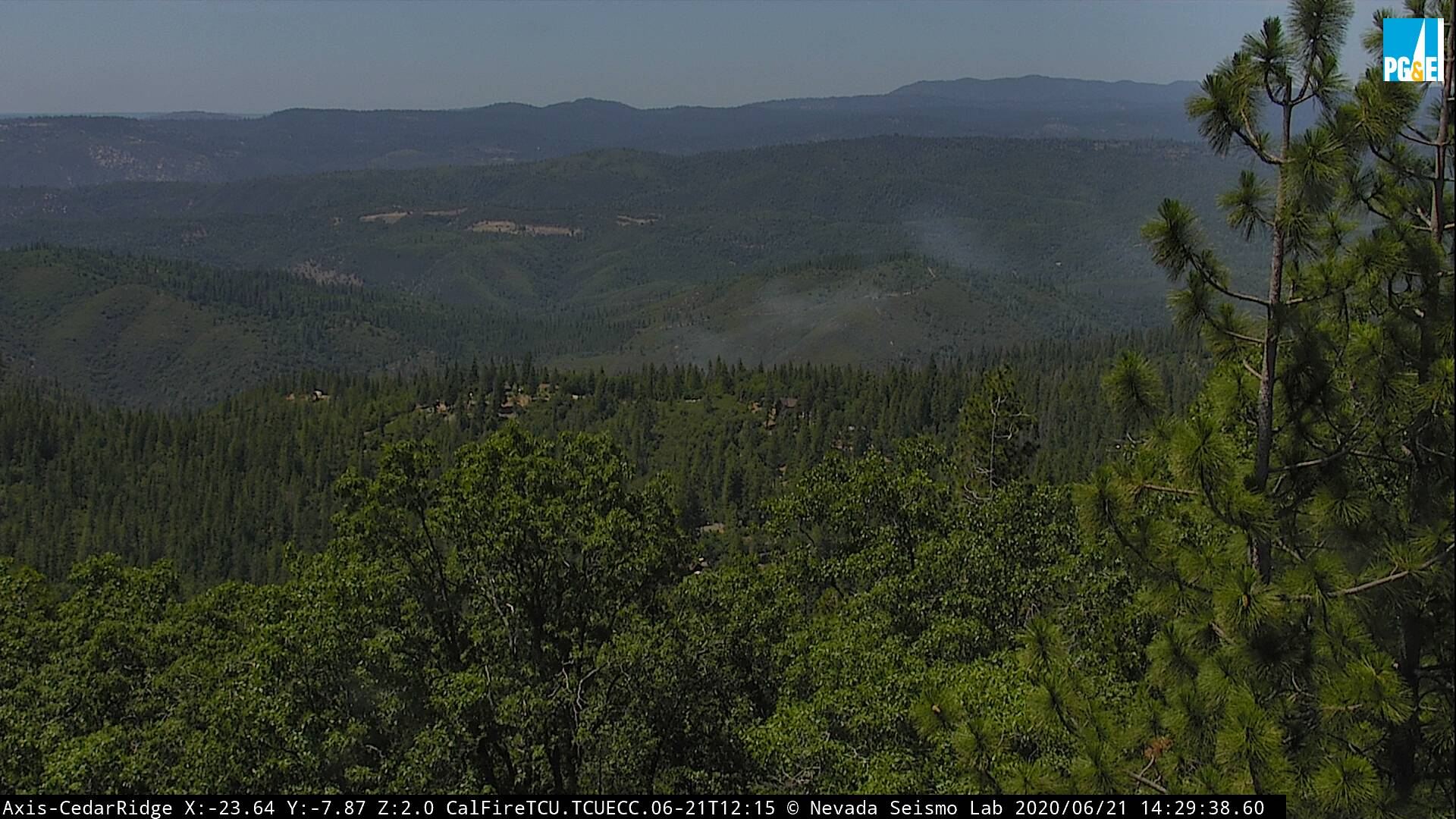
Cedar Ridge, CA…From the Stanislaus National Forest…”**Update 6/21/20 @ 1104** The Quarter Fire is still holding at 15 acres on the north-side of the river at this time. Fixed wing aircraft are concentrating on the North flank & Head of the Fire with retardant drops while helicopters are working the South end of the fire. Structure protection is being put in place for homes to the north-west of the Fire along Grant Ridge (3N11) and Contingency Lines are being established on the north-side of Cedar Ridge. Ground crews are making access on the south-side of the Fire.
Click Above for Latest Fire Images from ALERT Wildfire including Time Lapse Images

**Update 6/21/20 @ 0741**
The Quarter Fire held on the North side of the river overnight. An IR flight during the night mapped the fire at approximately 15 acres. Ground resources are still trying to gain access and aircraft will be over the fire at 0930.
**Original Post 6/20/20 @ 1154**
The Quarter Fire is located in the South fork of the Stanislaus River Canyon, 3 miles upstream of the Lost Dutchman Mining Association property in the Grant Ridge (3N11) area. The fire is estimated at 3-5 acres on the North side of river with difficult access in steep, rugged terrain. There are currently 15 engines, 4 Handcrews, 6 Water Tenders, 3 Fire Dozers, and numerous overhead making their way into the fire. Orders for more resources will be filled throughout the night and tomorrow. Aviation resources will resume operations in the morning as well. The cause of the fire is under investigation.
We ask that the public please stay out of the fire area. TCSO has advised homeowners in the area of a Evacuation Advisory. Thank you to everyone for your corporation at this time.”
The Quarter Fire is Holding at 15 Acres and Burning in South Fork of Stanislaus River Canyon added by admin on
View all posts by admin →