Angels Camp, CA…Fall hikes in Calaveras feed the mind, body, and soul with gorgeous autumn colors, fresh air, and reconnecting with nature. Read on for a few ideas to start your next Calaveras adventure!
Some of the best hiking & mountain biking in the county is closer than you might realize. Hidden between Hathaway Pines and Arnold just off of Hwy. 4 you’ll find the Arnold Rim Trail (ART), a 17.5 mile trail system that has been in the works since 2007. Behind unassuming neighborhoods lie a number of intriguing destinations, including San Antonio Falls, Cougar Rock and Top of the World. And it wouldn’t be unusual to have these spots all to yourself most days. Dogs are welcome on this trail, even off-leash if they have excellent recall. Part of these trails are equestrian, so you may find yourself sharing the road with a few horses!
Hike the Arnold Rim Trail starting at the Sierra Nevada Logging Museum and walk the Logging Museum Trail. If your destination is San Antonio Falls it probably makes most sense to park at White Pines, while those interested in Cougar Rock may want to park off of Avery Sheep Ranch Road. It really depends on how far you’d like to hike.
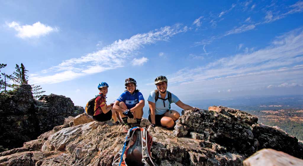
Cougar Rock | Photo: Arnold Rim Trail Association
For the trailhead at White Pines Park & Sierra Logging Museum: From Angels Camp travel east on Hwy. 4 toward Arnold. In Arnold, veer left onto Blagen Road just past the Chevron gas station. Follow Blagen Road for approximately one mile through the community of White Pines. Turn left on Dunbar Road and continue towards the park near the playground at White Pines Lake, which will be on your right as you turn onto Dunbar Road.
For the Cougar Rock and Top of the World Trailheads: For a more lively jaunt, head up to Cougar Rock for some spectacular views. This is an intermediate-level four mile hike with about 900 feet of elevation gain, the equivalent of a seventy-three story building. Start in Arnold and turn off Highway 4 onto Lakemont Drive, followed by a quick left turn onto Valley View Drive. The trailhead is at the intersection of Valley View Drive and Forest Route 5N95Y.
Big Bar Launch in Mokelumne Hill
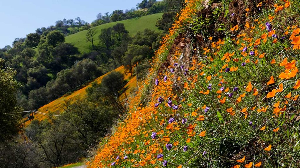
Mokelumne River Canyon | Barry Boulton
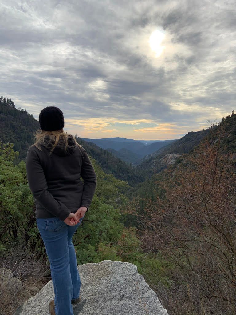
Spectacular views are available on the Mokelumne Coast to Crest Trail where it passes through Calaveras County in it’s Camanche Pardee and Upper Mokelumne segments. See beautiful Sierra Nevada vistas, aspens and wildflowers and the deep river canyon. Check the Mokelumne Coast to Crest Trail website to see progress, and to find which areas are currently available: mc2ct.org | James Bar Trail. Public access to the Mokelumne River is available at the Electra Powerhouse on Electra Road a couple of miles outside of town. Bring the fur babies on this adventure! They will love the area!
Calaveras Big Trees (North and South Grove)
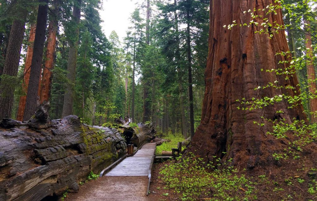
The North Grove Trail – you can walk through the downed tree on the left
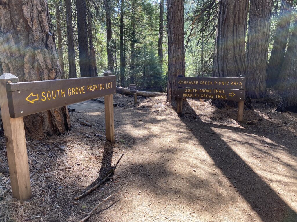
For either of these hikes, go into Calaveras Big Trees State Park, a beautiful 30-minute drive from Angels Camp. There is a $10 ($9 for seniors) parking fee. The North Grove loop is a level boardwalk trail that will show you at least 20 of the tallest trees you’ve ever seen. Park at the Visitors Center and walk down to the Big Stump where you can start the 1.5 mile loop around the grove.
For the South Grove, depending on your route, you may hike 3.5 to 5 miles (5.6 to 8.1 km) on this trail. The first 1.5 miles ( 2.4 km) of trail is a moderate, steady climb from the parking lot to the start of the loop trail, with a gain of 260 feet (79 m) in elevation. The loop trail passes through a representative portion of the lower part of the grove. Just over one mile (1.6 km) in length, this section of trail first climbs 200 feet (61 m), then gently descends back to the start of the loop. Halfway around the loop, you will find a side trail leasing to the upper grove and the largest tree in the park—the Agassiz Tree. At about 0.6 miles (1 km) in each direction, this trail gently climbs 100 feet (30 m). • Allow 1 1/2 to 3 hours for the 3.5 mile (5.6 km) hike from the parking lot around the loop trail. Allow 2 1/2 to 4 1/2 hours for the 5 mile (8.1 km) hike to the Agassiz Tree.
No puppies allowed on these trails due to the sensitive and delicate ecosystems.
New Hogan Lake in Valley Springs
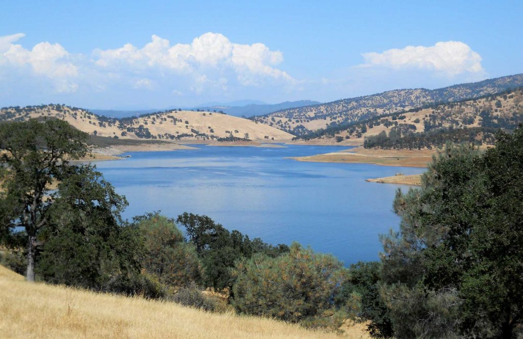
New Hogan Lake in summer, Valley Springs
New Hogan Reservoir hikes are great if you are looking for milder temperatures in the spring, fall & winter. Below the dam at the Monte Vista Recreation day use area, you will find the River of Skulls trail, an easy, .9 mile loop hiking trail with only about 90′ of elevation change. It’s the perfect fall hike for the whole family, chock full of great Calaveras history! The area got it’s current name. “Rio de las Calaveras” or “River of Skulls” from the Spanish Moraga expedition in 1806, who are said to have come upon Native American skulls along the river’s banks in their search for gold.
There is also a staging area for an eight mile equestrian trail to enjoy a scenic loop that winds along the foothills and lake. The west side of the lake includes bicycle trails that can be enjoyed by beginners and advanced riders. Easy to moderate loop trails ranging 5 to 10 miles include Cameron, Coyote, and Hogan and are dog-friendly (just keep them on a leash).
New Melones
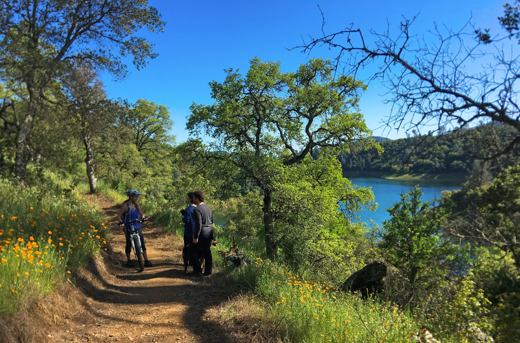
New Melones Lake | Angels Creek Trail
The New Melones Lake Glory Hole Recreation Area offers spectacular outdoor recreation on the 3rd largest reservoir in California. Turn at Whittle Ranch Road from Highway 49 and follow the road where you will start to see signs for different trailheads. Buck Brush Loop is an easy 1.3 mile loop or make it a more moderate 2.8 mile trek and take the Angels Creek Trail to see pretty lake views, rolling hills, and an abundance of birds along this quiet hike. Yes, bring the doggos to this one!
Sourgrass Recreation Area
The beautiful Sourgrass Recreation Area is located outside Dorrington on The North Fork of the Stanislaus River at Sourgrass/Board’s Crossing Road, across the river from Wa Ka Luu Hep Yoo (Wild River) Campground. Tall pines, incense cedars and black oaks grow around granite boulders in this canyon inhabited by Native Americans for 2000 years.
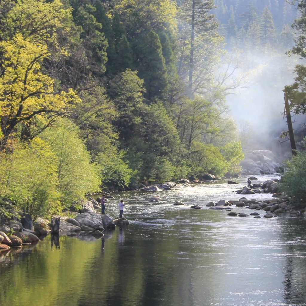
Park in the 15 car day-use area and find the rocky, dirt road trailhead to begin this 4.3-mile out-and-back trail with a 600 ft. elevation gain. Walk along the Stanislaus River filled with incredible autumn foliage or lush spring vistas. Dogs are welcome and able to be off leash on some of this trail. Tails will wag if they are water dogs as this is a great place for them to make a splash!


