


Markleeville, CA…Fire fighters continued to make progress on the Washington Fire, 8 miles south of Markleeville, California. The Bear Valley & Lake Alpine areas are open and largely smoke free. The fire which began last Friday has burned 17,205 acres and is 10 percent contained. For the safety of the public and due to fire suppression activities, Highways 4 and 89 in the Monitor and Ebbetts Pass areas remain closed. Several campgrounds along Highway 4 south of Markleeville as well as the Turtle Rock and Indian Creek campgrounds north of Markleeville remain closed. The Pacific Crest Trail remains open. Markleeville residents are under an evacuation advisory issued by Alpine County Sherriff’s office. No mandatory evacuations are in effect at this time.
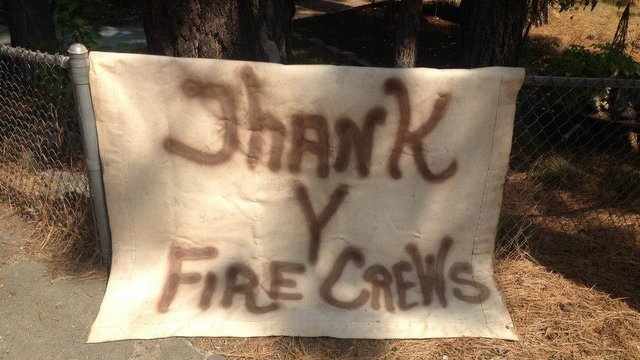
Resources assigned include 30 crews, 43 engines and 11 water tenders. Twelve helicopters and 3 air tankers are supporting the suppression effort, dropping retardant and water, ferrying equipment and supplies, transporting firefighters, and providing aerial surveillance. Less aerial delivery of retardant was necessary today due to good line construction progress the past three days. There are 900 personnel assigned.
Nevada Governor Brian Sandoval and Secretary of the Interior Sally Jewell visited the Incident Command Post for a fire briefing and expressed their gratitude to firefighters for their efforts. CA Resources Secretary John Laird also accompanied Sandoval and Jewell.
The primary tactical priority is to prevent the fire from reaching Markleeville. The next priorities are to contain the fire in the Wolf Creek and Monitor Pass area. Tomorrow’s weather forecast calls for sunny, hazy, and increasing temperatures with northerly light winds in the afternoon. Forecasted dry thunderstorms with strong outflow winds remain a concern Friday.
The fire was ignited by lightning, that occurred in previous storms in the weeks before, yet remained undetected until Friday, June 19th.
Basic Information
Current as of 6/24/2015, 5:58:27 PM
Incident Type Wildfire
Cause Lightning/natural
Date of Origin Friday June 19th, 2015 approx. 07:00 PM
Location On CA Highways 4 and 89, 3 miles south of Markleeville, CA.
Incident Commander Chris Wilcox
Current Situation
Total Personnel 900
Size 17,205 Acres
Percent of Perimeter Contained 10%
Fuels Involved
Timber (Litter and Understory)
Significant Events
Active Smoldering
Outlook
Planned Actions
The primary goal this operational period is to prevent fire spread toward Markleeville.
Projected Incident Activity
Actively burning. Fuel- and slope-driven fire spread. Burning in some drainages off of the East Fork Carson River. Also spread to the north and to the east.
Remarks
Fire is burning in hazardous and inaccessible terrain and approaching an increasing number of structures and impacting travel corridors.
Current Weather
Weather Concerns
Warmer temperatures through Saturday. Record Highs likely by Friday. Fire Weather watch for Saturday and Sunday with possible thunderstorms.
Crews Making Progress On Washington Fire..Bear Valley & Lake Alpine Areas Open added by admin on
View all posts by admin →