


Markleeville, CA…Hwy 4 will remain closed through the weekend but most of our high county destinations are open a largely smoke free. Firefighters on the Washington Fire, 3 miles south of Markleeville, California continued to optimize lower wind conditions to increase containment. Significant progress has been made towards containing the western flank of the fire south of Markleeville. The fire has burned 16,490 acres and is 15 percent contained. The reduction in the reported fire size is due to more accurate mapping. The fire was most active overnight and today on the southern flank west of Wolf Creek Meadows in the Carson Iceberg Wilderness.
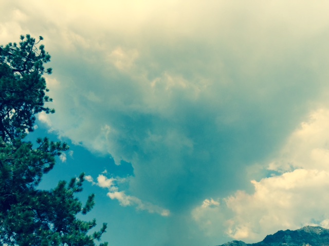
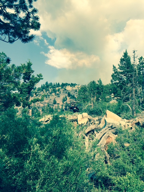
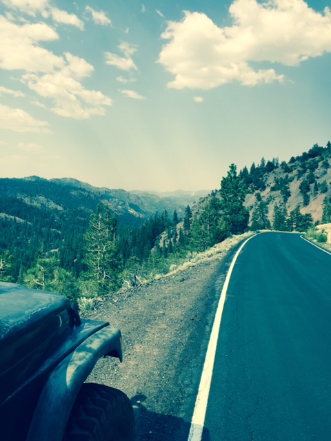
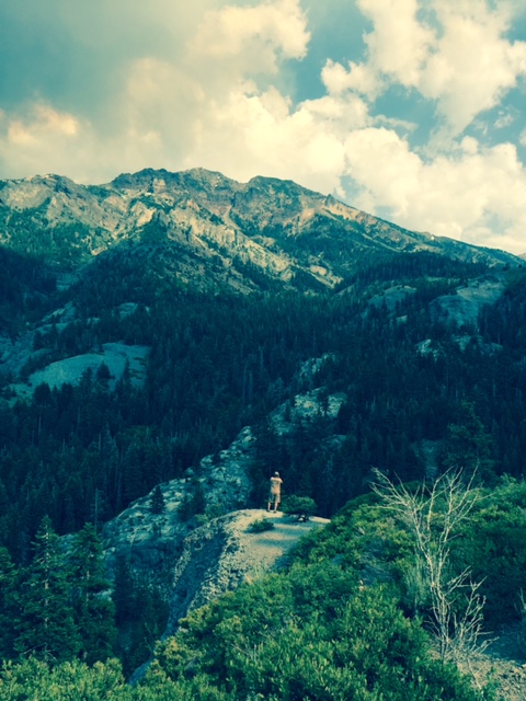
Thank You To Erin & Mike Borean For the Shots From The High Country
For the safety of the public and due to fire suppression activities, Highways 4 and 89 in the Monitor and Ebbetts Pass areas will remain closed throughout the weekend. Several campgrounds along Highway 4 south of Markleeville as well as the Turtle Rock and Indian Creek campgrounds north of Markleeville remain closed. The Pacific Crest Trail remains open. Markleeville residents are under an evacuation advisory issued by Alpine County Sherriff’s office. No mandatory evacuations are in effect at this time.
As of Thursday, resources on scene include 27 crews, 50 engines and 12 water tenders. Eleven helicopters are supporting the suppression effort, dropping retardant and water, ferrying equipment and supplies, transporting firefighters, and providing aerial surveillance. There are 951 personnel assigned.
The primary strategic priority is to prevent the fire from reaching Markleeville. The next priorities are to contain the fire in the Wolf Creek and Monitor Pass areas. Firefighters continued to develop and implement contingency plans in preparation for the thunderstorms forecasted Friday through Sunday. Thunderstorms are forecasted to begin dry and become wetter beginning Sunday.
Tomorrow’s weather forecast calls for partly cloudy skies with isolated, mostly dry, thunderstorms, well above normal temperatures with 10 – 15 mph winds in the afternoon. Strong and erratic outflow winds may accompany any thunderstorm development near the fire.
The fire was ignited by lightening that occurred in previous storms, 10 days before it was detected on Friday, June 19.
Fire restrictions go into effect for Western Nevada and eastern California tomorrow, June 26th.
Basic Information
| Current as of | 6/26/2015, 10:15:16 AM |
|---|---|
| Incident Type | Wildfire |
| Cause | Lightning/natural |
| Date of Origin | Friday June 19th, 2015 approx. 07:00 PM |
| Location | On CA Highways 4 and 89, 3 miles south of Markleeville, CA. |
| Incident Commander | Chris Wilcox |
Current Situation
| Total Personnel | 951 |
|---|---|
| Size | 16,490 Acres |
| Percent of Perimeter Contained | 15% |
| Fuels Involved | Timber (Litter and Understory) 2 foot tall brush (sage) |
| Significant Events | Line construction continues to secure line prior to thunderstorms expected later this afternoon. |
Outlook
| Planned Actions | The primary goal this operational period is to continue to prevent fire spread toward Markleeville and secure perimeter lines around the fire. |
|---|---|
| Projected Incident Activity | Continue to increase containment levels securing the perimeter of the fire. Keep fire from spreading further with incoming thunderstorms over the weekend. |
| Remarks | Fire is burning in hazardous and inaccessible terrain, and has burned into the Carson Iceberg Wilderness. |
Current Weather
| Weather Concerns | Record breaking heat expected today. Fire Weather watch for Saturday and Sunday with possible thunderstorms. 50% chance of rain Sunday. |
|---|
Fire Lines South Of Markleeville Solidify, Smoke Output Drops & Pacific Coast Trail, Bear Valley & Lake Alpine Are Open! added by admin on
View all posts by admin →