


Bear Valley, CA…Hey Good People! Breezy conditions are currently going on at the ski hill as the current system has stalled a bit yet looks to come onshore this morning by 7am then snow should start falling by mid morning, possibly a little sooner. Winds have increased as the gradient ahead of the system is fairly tight so gusts into the 30’s today is likely. Snowfall of around 9-13″ is expected today as the system squeaks out some copious amounts of water in a very short time. Tapering of this event could begin as early as this evening with lingering snowfall overnight bringing a few inches. Snowfall should drop down to the 4000′ level initially then possibly rise for a short time this afternoon before crashing down to the 2500-3000′ range later tonight and well into Monday. Snow shower activity will be around most of the week as the trough axis digs South and residual spinoff will give us scattered snow through Thursday at this time. Check out our Lifts and Trails page Daily for projected operations. Come check out our “Pure Mtn Fun” as we have lots of it going on!


Sunday
Snow showers. High near 34. Windy, with a south wind 24 to 30 mph, with gusts as high as 45 mph. Chance of precipitation is 90%. New snow accumulation of 9 to 13 inches possible.
Sunday Night
Snow showers likely, mainly before 10pm. Mostly cloudy, with a low around 25. South wind 7 to 11 mph, with gusts as high as 18 mph. Chance of precipitation is 70%. New snow accumulation of 1 to 3 inches possible.
Peace Out,
Mattly
December 22nd 2019 35F @5am South wind 20-35mph Base 54″” Current Storm total 0″ Season Total 126”
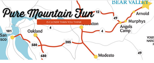
Hey Good People!! A Whole Mountain of “Pure Mtn Fun” Awaits at Bear Valley! added by admin on
View all posts by admin →