


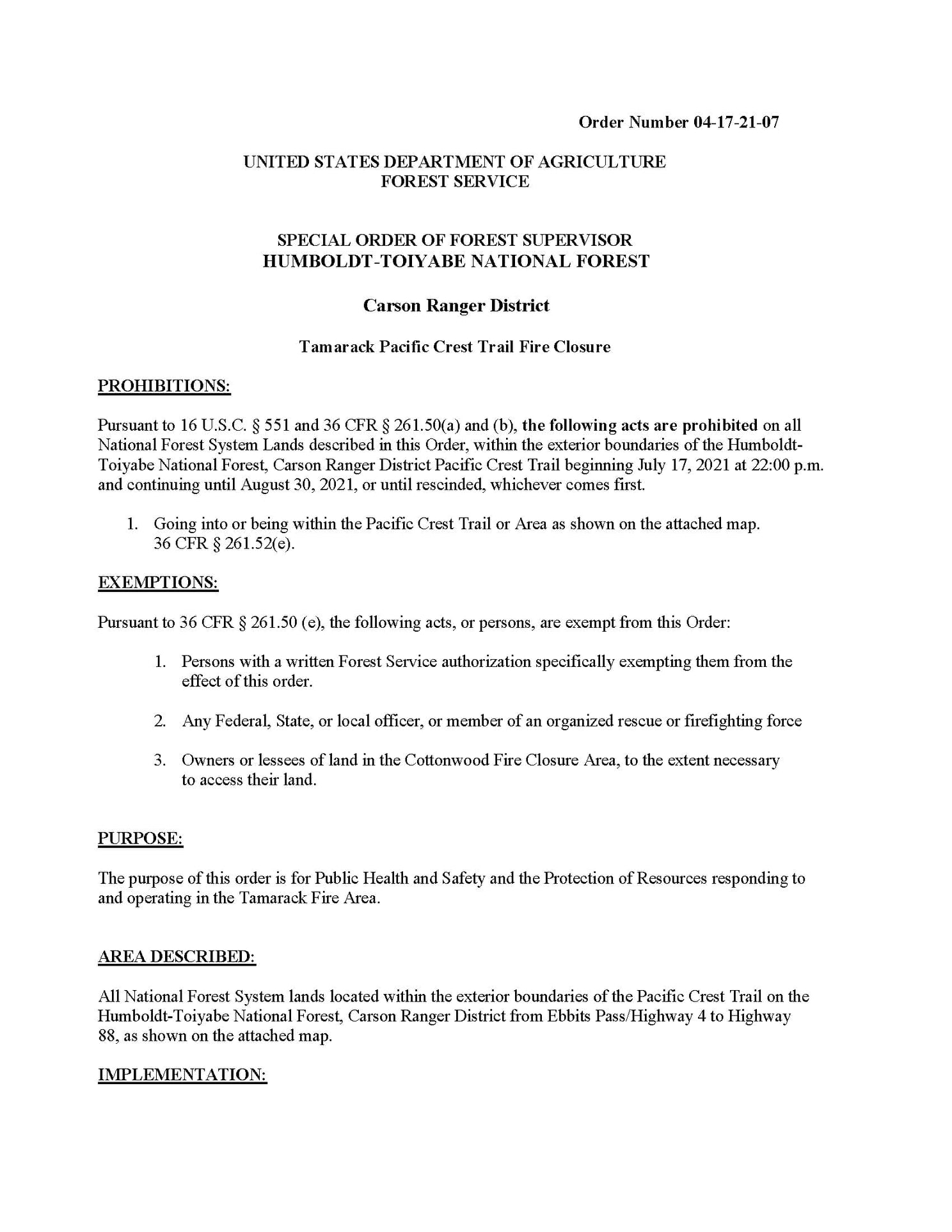
Markleevile, CA…The Tamarack Fire, burning in Alpine County in eastern California has led Forest officials on the Humboldt-Toiyabe National Forest to close a portion of the Pacific Crest Trail. The fire is burning northeast of the trail near Raymond Peak (around mile 1060) in the Pleasant Valley Creek area. The fire is 21,000 acres with 0% containment.
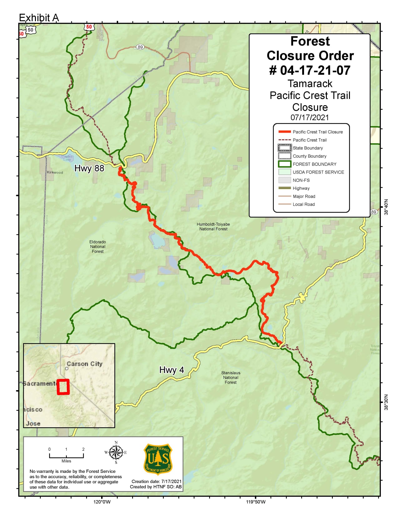
The Pacific Crest Trail is currently closed between California State Route 88 and California State Route 4 (Ebbetts Pass). For reroute details, please visit the Pacific Crest Trail website at: https://bit.ly/3wNPoYD. For Forest closure information, please visit: https://origin-fs.fs.usda.gov/detail/htnf/alerts-notices/….
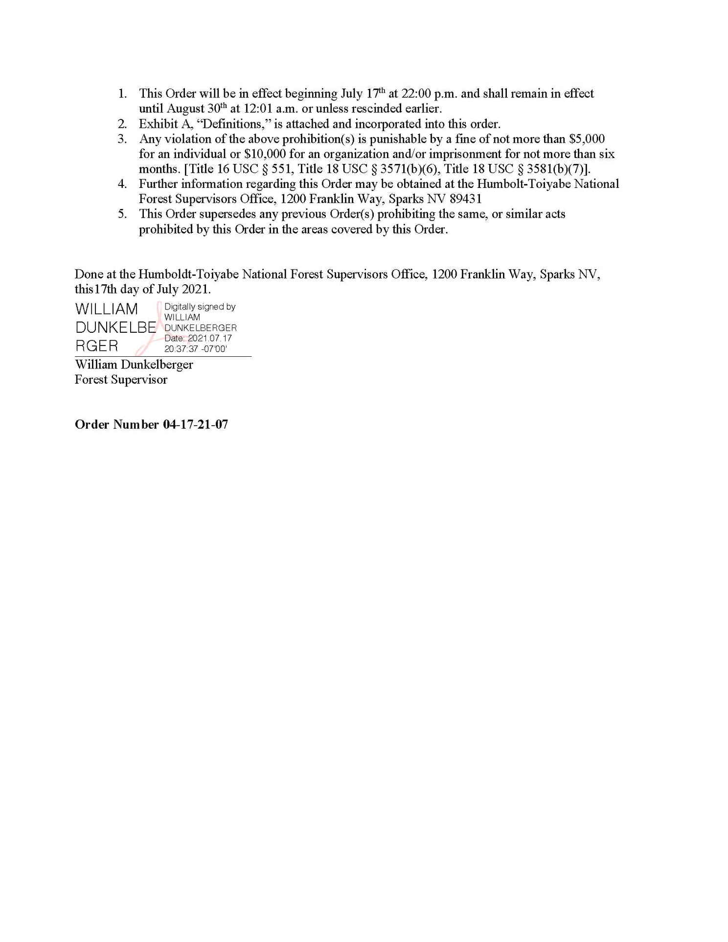
Failure to comply with closure may result in criminal and/or civil penalties, including up to $5,000 in fines and/or six months in jail. In addition, anyone found responsible for starting a wildfire can be held civilly and criminally liable.
The Pacific Crest Trail spans 2,650 miles from Mexico to Canada and has attracted thousands of hikers. It is divided into five regions: Southern California, Central California, Northern California, Oregon, and Washington.
Fire Information:
Inciweb: https://inciweb.nwcg.gov/incident/7674/
Facebook: @HumboldtToiyabeNF #TamarackFire
Twitter: @HumboldtToiyabe #TamarackFire
Fire Information Number: 1-775-446-5438
Tamarack Fire Forces Closure of Portion of Pacific Crest Trail added by admin on
View all posts by admin →