

Bear Valley, CA…Hey Good People! Christmas Eve ushers in snowfall as the Long wave trough is now moving over Norcal and bringing with it an interesting mix of suggested snowfall totals. 3″ has fallen in Town overnight while the resort shows 10″ at the study plot near Grizz Top. So…….
Today we are in a transitional phase of the storm at 7am with temps rising a bit and a mix of wet snow is currently falling. By 9am or so the temp should drop into the upper 20’s and allow it to turn to all snow. 7500′ is the current snow level but we’ll see that change over the next few hours as it drops down to 5000′ by mid day.
29F is the target temp for the day yet winds will play their hand as increases overnight as the system moves over us will be felt over the next few days. Average wind speeds over the next 48hrs will hover in the upper 20’s to mid 30’s with gusting reaching into the 50’s as the gradient tightens up. Differences in snow totals from both NOAA and Opensnow still show face so 50″ by the time things settle down come Friday certainly has a positive feel. If we get more that would be from a slowing down of the passing system but we’ll have to wait and see how the next 48hrs or so plays out. Totals show a possible 7-11″ today, 13-19″ tonight, 14-20″ Christmas Day, 13-19″ Christmas night and 6-12″ more through Friday day and evening. A few days of clear weather will follow before the next system shows face.
Know this, snow has arrived and will lay down nicely for the Holidays and we can all get out and rip around.
Travel will certainly have it’s difficulties as CalTrans will have their hands full so slow your roll, plan accordingly for the unknown and get on up here to Bear Valley because it’s going to be a great winter Holiday before years end.
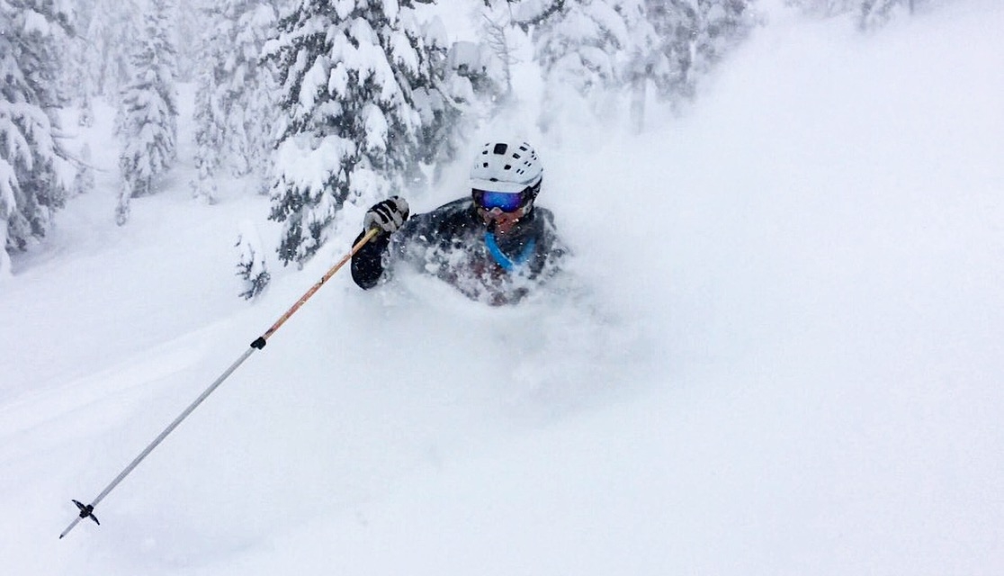
We look forward to seeing everyone’s happy Powder faces!
Peace Out
Mattly
Hey Good People!! The Christmas Eve Weather Update from Mattly Trent added by admin on
View all posts by admin →
Great to have you back. Nice to see the folks are capable of some good decisions. Jay
Mattley loves it when 16″ comes in.