

San Andreas, CA…On Tuesday, March 9, 2021 the Board of Supervisors will consider amending the zoning map to bring zoning into conformance with the General Plan and to rezone all Unclassified and Highway Service zoned parcels. Approximately 6900 parcels will be affected by these changes.
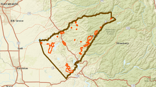
Since adoption of the new General Plan in November, 2019 Planning has been working to update the zoning for consistency. Draft maps were provided on the County’s website in December, 2020 for review. On February 11, 2021 the Planning Commission recommended that the Board approve the proposed zoning changes.
The proposed changes can be viewed on the County’s open web portal through the Planning Department’s website https://planning.calaverasgov.us/ under the “zoning” tab. Directions for finding a parcel and if it is proposed to be changed is also available at that site. If land owners or the public have difficulty in accessing the information they may contact the Planning Department at 209-754-6394 or by email at PlanningWeb@co.calaveras.ca.us. Comments on the proposed zoning may be sent to the Planning Department or directly to the Board of Supervisors at bosclerk@co.calaveras.ca.us.
Please contact Peter Maurer, Planning Director, for further information.
Board of Supervisors to Consider Country Wide Zoning Map Update added by admin on
View all posts by admin →