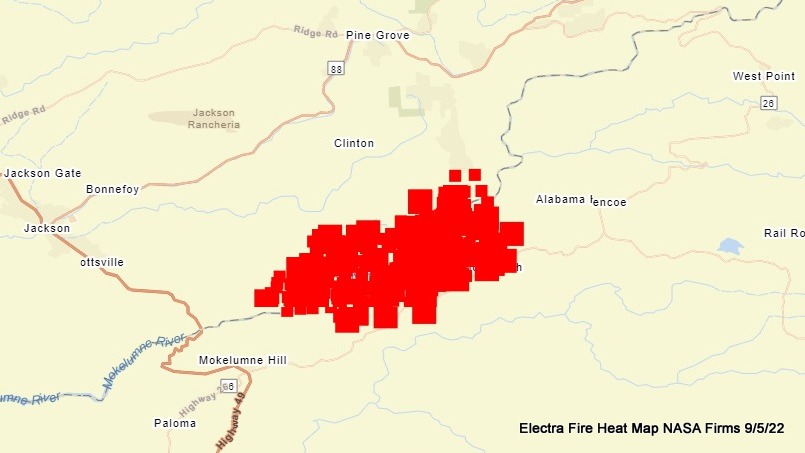
Amador & Calaveras County, CA…Heat maps can be inaccurate because they can show heat aloft and not necessarily what is actually happening on the ground. That said they can be a great resource for where firefighters need to go to get a fire under control. Below is one of the Electra Fire. They are making good progress and smoke output is down…work still to be done though.


