

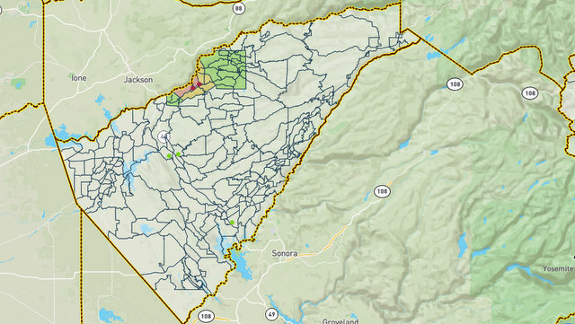
San Andreas, CA…The Calaveras County Office of Emergency Services has implemented Zonehaven for identifying evacuation order and warning zones. For a live map of current zones under an evacuation order or warning please visit www.community.zonehaven.com
Road Closures The Calaveras County Sheriff’s Office is moving the road closure from HWY 26 and Ridge Road to HWY 26 and lower Dorray Road and HWY 26 half mile West of Rich Gulch Road.
Reductions to Evacuation Warnings The following zones have been reduced to an evacuation warning in the community of Glencoe: CCU-E002-C, CCU-E024-B, CCU-E024-C, CCU-E025-B, CCU-026-D, CCU-026-E, CCU-E052-C
Lifting of Evacuation Warnings The evacuation warning for the following zones have been lifted in the communities of West Point, Wilseyville, and Railroad Flat and are now open: Zones CCU-E002-A, CCU-E003-A, CCU-E004-A, CCU-E005, CCU-E006, CCU-E007-B, CCU-E008-A, CCU-E025-A, CCU-E026-B, CCU-E027, CCU-E028, CCU-E029, CCU-E030, CCU-E031, CCU-E032, CCU-E033-A, CCU-E034-B, CCU-E035-B, CCU-E036-B, CCU-E037-B.
All other evacuation orders, evacuation warnings, and road closures remain unchanged in Calaveras County.
###
More Roads Open Up as Electra Fire Repopulation Moves Forward added by admin on
View all posts by admin →