


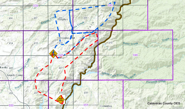
Vallecito, CA…Click on the image below to go to the Calaveras County Evacuation Map too. Active events are displayed both in the map and at the right in the “Active Evacuation Summary Pane”. The “Active Evacuation Summary Pane” provides a count of active events contained in the current map extent. In the event of an evacuation the active zones will display in “RED” for an “Evacuation Order” and in “BLUE” for an “Evacuation Warning” To review more detail click on the down arrows in the “Active Evacuation Summary. Click below to go to the application…
Airola Fire Active Evacuation Maps added by admin on
View all posts by admin →